We saw some oddities in our weather, not just in December, but throughout 2021.
On Christmas Day, Fairbanks was considerably warmer than Ketchikan far down the coast, as Ketchikan celebrated their coldest December 25th on record.
A day later, Kodiak hit 67F, which is the warmest temperature ever recorded, anywhere in Alaska, in the month of December. That broke Kodiak’s record high for the day by 9F. It was warmer in Kodiak than Los Angeles or Seattle. Cold Bay also destroyed their old record high on the same day, with a temperature of 62F. The previous record high for the day was 44F!
Alaska 2021 Review
The North Slope saw extended thunderstorms, and Fairbanks set an all time record for precipitation. Yakutat, Alaska’s surfing hot spot, saw 67F in mid-April, and a day later, Klawock experienced the earliest 75F ever in the State.
Nome saw six blizzards over a three week period, Buckland saw spring flooding, and the Noatak experienced extreme summer rain.
Anchorage had an early heavy snow, King Salmon had a chilly autumn, and our capital experienced their coldest December in almost 40 years.
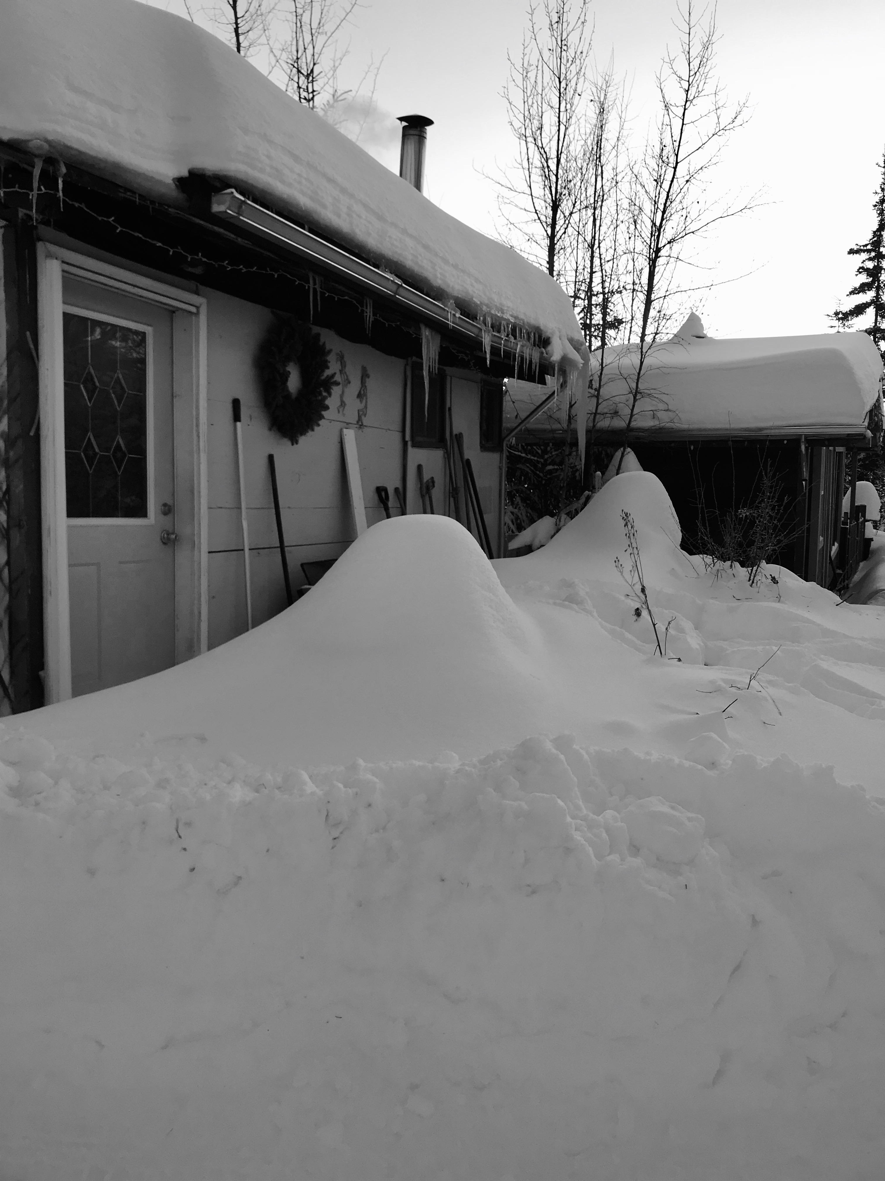
I was debating taking last week off completely from the blog, then the storm hit, and my days were filled with shoveling and plowing.
Officially, the ten day storm brought 30.2 inches of snow. You’re thinking: “Piece of cake”. It probably would have been if we didn’t have 1-1/2″ of freezing rain in the middle of the 2-1/2 feet of snow. It was simply a mess out there.
In the end, I had 52″ of snow fall at the cabin in the month of December. That’s good for second place in all recorded Decembers, and the fourth ever snowiest month. Total precipitation rivaled August 1967, when Fairbanks had its historic flood.
Not to be left out, Denali National Park HQ recorded 78″ of snow in December, breaking the monthly record.
We do not have any snow in the coming week’s forecast, which I’m beyond thrilled about. We have some digging out to do, but we seem to be heading back to more normal weather. Sunday morning saw temps at -40F/C. Thank goodness.
One of the many quirks of Fairbanks is the temperature inversions that takes place in the Tanana Valley and the surrounding hills. The temperature difference, as the map shows, can be quite substantial. Those living up in the hills, will leave relatively moderate temps, and drive down into increasingly chilling temps and the growing murk of ice fog.
It was -36F at the cabin on Monday morning, which does add to the motivation to return to life in the hills. But the firewood bin is full, the stack robber cleaned and throwing out heat of its own, and overall, life is just fine.
The low was -37F in Fairbanks on Saturday morning. By 10am on Monday, the temperature had risen to +25F. An increase of 62 degrees. Consider: It would be the same swing as going from 32F to 94F.
The 25F degrees was the warmest we have been since November 7.
The Atigun River HADS station recorded the State’s first -50F reading of the season on Sunday morning. The weather station is located just north of Atigun Pass, where the Dalton Highway crosses the Atigun River.
Monday morning will bring temperatures close to -40 to Fairbanks. The last time Fairbanks saw -40 in November was in 2011.
An elderly resident was asked what’s the best rig for Interior Alaska. He replied, “A two wheel drive pickup.”
There was some shock, and surprise in the answer, as well as a few snickers.
The Sourdough went on to say, “In a four wheel drive truck with a winch, you will get stuck 40 miles away. In a four wheel drive rig, you’ll get stuck 20 miles away. In a front wheel drive vehicle, you might get stuck 10 miles away. But in a rear wheel drive pick up truck, you’ll get stuck at the end of your road, and you can walk back home and have a beer while waiting for the road to get plowed.
The USRC Bear in the ice; Location and date unknown
For over two decades, NOAA and the U.S. Coast Guard have been looking for the final resting place of the Revenue Cutter Bear. One of the most storied ships in USCG history, the Bear was launched in 1874, and would see service for the next nine decades.
The historic vessel entered Coast Guard service as a revenue cutter in 1885, spending much of its time working the 20,000 mile Alaska coastline. The Bear was a rescue ship and medical ship; served as transportation for governors, teachers, construction material, mail and reindeer; hunted for poachers, smugglers and illegal traders; and she served as census taker and floating courthouse during her time in Alaskan waters.
The Bear’s masthead
She assisted the 1906 relief efforts after the San Francisco earthquake, as well as assisting Robert Byrd on his Second and Third Antarctic Expeditions. In 1930, the Bear starred in the film version of Jack London’s The Sea Wolf. In 1939, she joined the US Navy on the United States Antarctic Service Expedition. When the United States entered WWII, the Bear returned to Arctic waters joining the Northeast Atlantic Greenland Patrol.
With her service in WWII, the Bear became the oldest Navy ship to be deployed outside the Continental United States. She was also one of the last ships originally equipped with sails to serve in a theater of war. The Bear was one of a select few Navy ships to have served in the Spanish-American War, as well as both World Wars.
The Bear’s final moments, with the Irving Birch looking on
In 1963, while being towed from Nova Scotia to Philadelphia, one of her masts collapsed in a storm, and the venerable Bear went down to the sea bottom.
In 2019, researchers from NOAA caught a break. Two targets were discovered, and one showed major promise. After two years of comparing photos of the wreck at the bottom of the ocean, and photos of the Bear in dry dock and at port, researchers have stated that they are “reasonably certain” that the wreckage is the Bear.
The wreck on the left, with the Bear in dry dock, circa 1924, on the right; Photo credit: NOAA
As forecast, a Chinook blew into Interior Alaska this past weekend, driving temps in Fairbanks up into the 40’s. It was +44F at 8am in the valley on Sunday morning. The average high on Halloween is +18F. Also, as expected, our dusting of snow became a few patches of white.
Further south in Alaska: The NWS station in Girdwood at Alyeska recorded 9.5″ of rain in a 24 hour period. Nearby Porter Glacier Visitor Center recorded 10.34″ of rain on Saturday. It is the first 10+ inch precipitation event in 24 hours in Alaska since 2012. The storm total at Portage Glacier was 17.72″, as of Sunday evening. The epicenter for this event is Mount Baker, which is just 75 miles east of Anchorage, but 13,000 feet higher. The forecast for the slopes of Mount Baker “Snow could be heavy at times”. SATURDAY AFTERNOON: 29-35″; SATURDAY NIGHT-SUNDAY MORNING: 108-114″ Possible; SUNDAY AFTERNOON: 82-88″; SUNDAY NIGHT: 100% Chance of Snow, Heavy At Times.