We saw some oddities in our weather, not just in December, but throughout 2021.
On Christmas Day, Fairbanks was considerably warmer than Ketchikan far down the coast, as Ketchikan celebrated their coldest December 25th on record.
A day later, Kodiak hit 67F, which is the warmest temperature ever recorded, anywhere in Alaska, in the month of December. That broke Kodiak’s record high for the day by 9F. It was warmer in Kodiak than Los Angeles or Seattle. Cold Bay also destroyed their old record high on the same day, with a temperature of 62F. The previous record high for the day was 44F!
Alaska 2021 Review
The North Slope saw extended thunderstorms, and Fairbanks set an all time record for precipitation. Yakutat, Alaska’s surfing hot spot, saw 67F in mid-April, and a day later, Klawock experienced the earliest 75F ever in the State.
Nome saw six blizzards over a three week period, Buckland saw spring flooding, and the Noatak experienced extreme summer rain.
Anchorage had an early heavy snow, King Salmon had a chilly autumn, and our capital experienced their coldest December in almost 40 years.
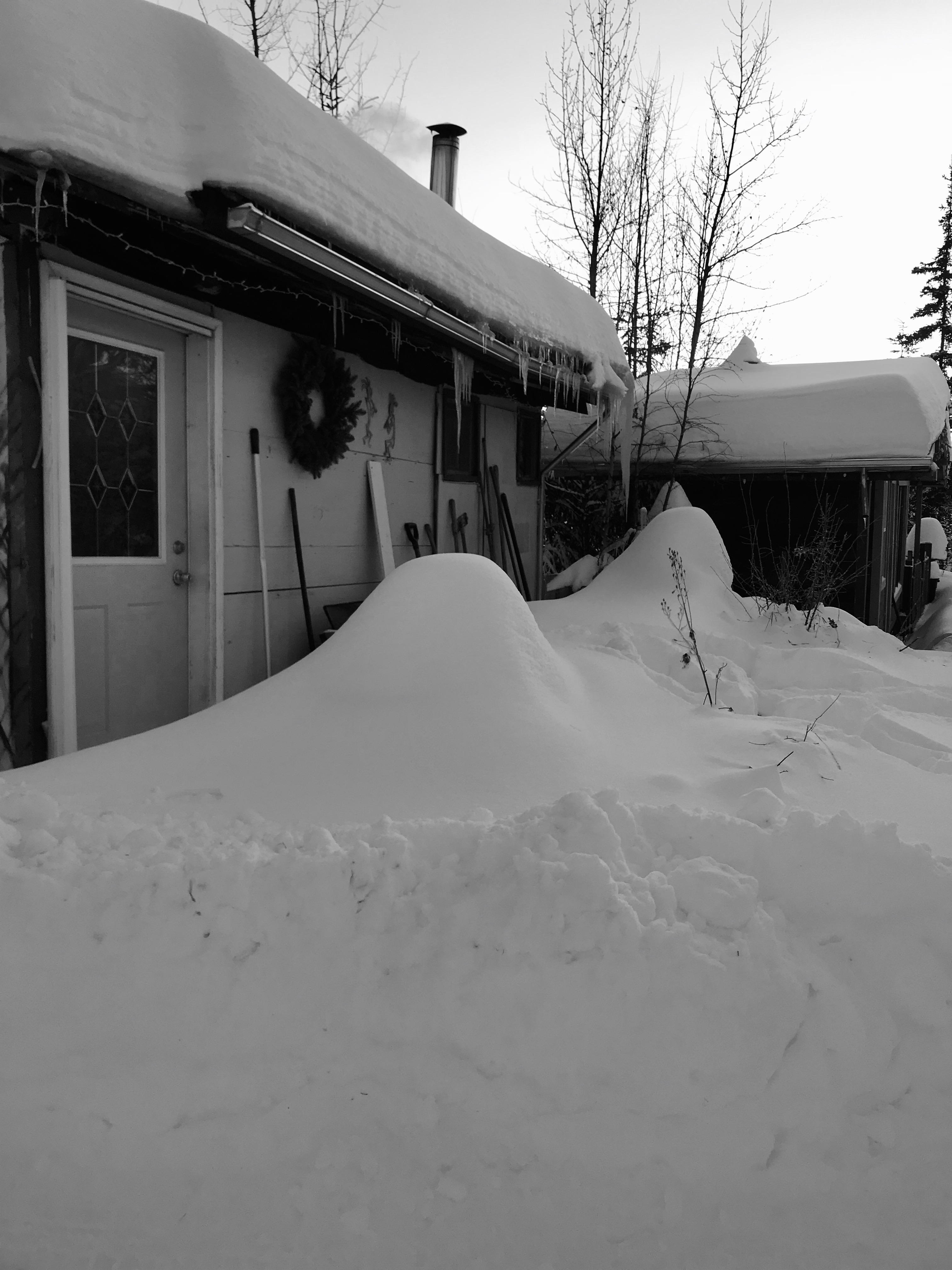
I was debating taking last week off completely from the blog, then the storm hit, and my days were filled with shoveling and plowing.
Officially, the ten day storm brought 30.2 inches of snow. You’re thinking: “Piece of cake”. It probably would have been if we didn’t have 1-1/2″ of freezing rain in the middle of the 2-1/2 feet of snow. It was simply a mess out there.
In the end, I had 52″ of snow fall at the cabin in the month of December. That’s good for second place in all recorded Decembers, and the fourth ever snowiest month. Total precipitation rivaled August 1967, when Fairbanks had its historic flood.
Not to be left out, Denali National Park HQ recorded 78″ of snow in December, breaking the monthly record.
We do not have any snow in the coming week’s forecast, which I’m beyond thrilled about. We have some digging out to do, but we seem to be heading back to more normal weather. Sunday morning saw temps at -40F/C. Thank goodness.
The Atigun River HADS station recorded the State’s first -50F reading of the season on Sunday morning. The weather station is located just north of Atigun Pass, where the Dalton Highway crosses the Atigun River.
Monday morning will bring temperatures close to -40 to Fairbanks. The last time Fairbanks saw -40 in November was in 2011.
The anniversary of the first truck to travel the Alaska Highway was on Saturday, 20 November. The truck was the first to drive from Dawson to Whitehorse, and then from Whitehorse to Fairbanks. In 1942, that must have been one chilly ride.
The Alaska Highway Guide; 1948
In 1948, The Alaska Highway Guide was published, which listed the scant accommodations and services along the route. The Milepost, which today is the bible of Al-Can travel, would be published for the first time in 1949.
1936 “Championship Game”: University of Alaska vs Dawson
With the Alaska Nanooks on their second consecutive week off, we dip into the archives for our hockey fix. I’m guessing this was the championship game of the 1936 Winter Carnival tournament. 1936 would have been the second annual winter carnival. Fairbanks won the game, although no score, or photog credit was given.
As forecast, a Chinook blew into Interior Alaska this past weekend, driving temps in Fairbanks up into the 40’s. It was +44F at 8am in the valley on Sunday morning. The average high on Halloween is +18F. Also, as expected, our dusting of snow became a few patches of white.
Further south in Alaska: The NWS station in Girdwood at Alyeska recorded 9.5″ of rain in a 24 hour period. Nearby Porter Glacier Visitor Center recorded 10.34″ of rain on Saturday. It is the first 10+ inch precipitation event in 24 hours in Alaska since 2012. The storm total at Portage Glacier was 17.72″, as of Sunday evening. The epicenter for this event is Mount Baker, which is just 75 miles east of Anchorage, but 13,000 feet higher. The forecast for the slopes of Mount Baker “Snow could be heavy at times”. SATURDAY AFTERNOON: 29-35″; SATURDAY NIGHT-SUNDAY MORNING: 108-114″ Possible; SUNDAY AFTERNOON: 82-88″; SUNDAY NIGHT: 100% Chance of Snow, Heavy At Times.